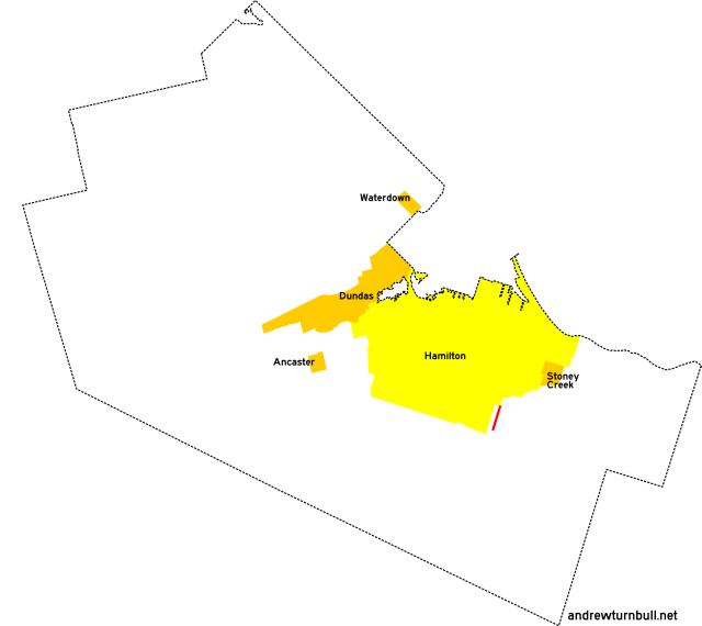
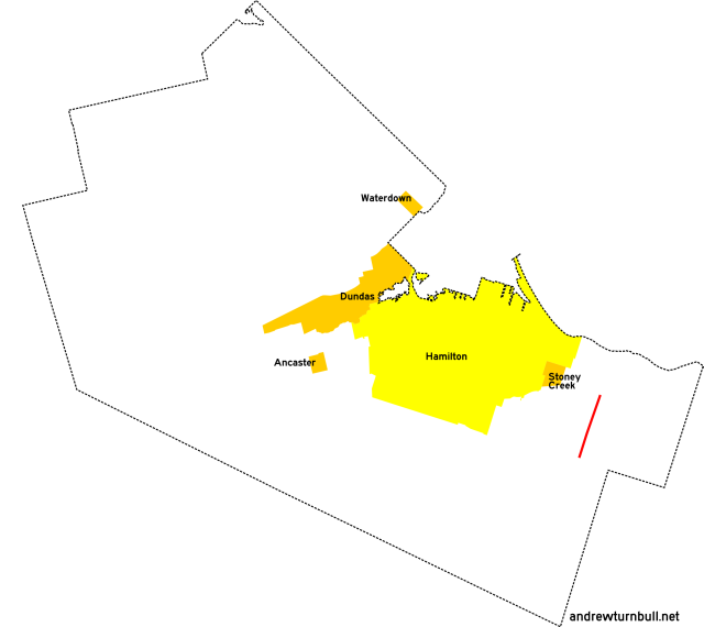
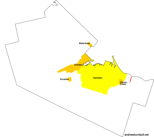
![[Hamilton, ON highway map]](transpo/rr400.png)
The City of Stoney Creek consisted chiefly of Saltfleet Township, which incorporated itself by consolidating with the much smaller Village of Stoney Creek in 1974.
| 406 | 408* | ||||||||
| 411 | 412* | 416 | |||||||
| 424* | 425 | ||||||||
| 430 | 434* | ||||||||
| 445* | |||||||||
| 450 | 452 | 455 | 458 | ||||||
= Based on pre-1979 regional road number
= Based on Ontario provincial highway number
= Random or sequential numbers
* = Continues across municipal boundary with a change of leading digit
| Highway | Map (click to enlarge) | Names | Start | Terminus | Length (km) |
|---|---|---|---|---|---|
RR 406 | |||||
|
|
Upper Mt. Albion Rd. | Mud St., Mt. Albion | ON 53 east of Hannon | 2 |
|
Previously: RR 6, with no changes or adjustments. |
|||||
RR 408 | |||||

|

|
Queenston Rd. | Stoney Creek city limits west of ON 20 (continues from RR 108) | West of Grays Rd., Stoney Creek | 2 |
|
Concurrent with: ON 8. "408" was an internal designation used to refer to the portion of the highway in Stoney Creek (i.e., the pre-1974 village) covered by municipal maintenance. It was never signed this way in the field. Succeeded by: RR 8 (King Street portion). |
|||||
RR 411 | |||||

|

|
Mud St. | Hamilton city limits, Mt. Albion (continues as RR 123) | Niagara Region line east of Tweedside | 13 |
|
Previously: RR 11. Follows Concession Line 7. Adjustments: In the late 1990s, the portion of Mud Street near RR 411's historical terminus was realigned to interface with the Lincoln M. Alexander Parkway, leaving behind a stub named Old Mud. It's unknown whether the "411" designation was actually applied to the new road. This highway's designation reverted to RR 11 on some late-period signage. |
|||||
RR 412 | |||||
|

|
King St. | ON 20, Stoney Creek (continues from RR 112) | ON 8 east of Stoney Creek Village | 3 |
|
Previously: RR 12, with no changes or adjustments. |
|||||
RR 416 | |||||
|

|
Stone Church Rd. | (1979:) Hamilton city limits near Mt. Albion |
Upper Mt. Albion Rd. Paramount Dr. |
insignificant |
| (1984:) Hamilton city limits near Mt. Albion | Mud St. east of Mt. Albion | 2 | |||
|
Added in 1979. This road was newly-constructed. Adjustments: By 1982, RR 416 had been extended east along Paramount Drive to Mud Street. |
|||||
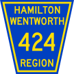
RR 424 | |||||
|

|
Barton St. | Hamilton city limits north of Stoney Creek Village (continues from RR 124) | Fifty Rd. east of Winona | 8 |
|
Previously: RR 24. Truncated slightly from that road's original incarnation. Follows Concession Line 2. |
|||||
RR 425 | |||||

|

|
New Mountain Rd. Ridge Rd. |
King St., Stoney Creek Village | Niagara Region line east of Vinemount | 10 |
|
Previously: RR 25 (west of Tapleytown Rd.), RR 25A. Follows Concession Line 4. |
|||||
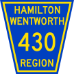
RR 430 | |||||
|

|
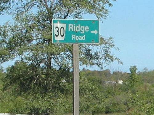
Ridge Rd. | ON 20 south of Stoney Creek Village | New Mountain Rd. east of Stoney Creek Village | 2 |
|
Previously: RR 30. This highway's designation reverted to RR 30 on some late-period signage. |
|||||
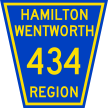
RR 434 | |||||
|
|
Tapleytown Rd. | Ridge Rd. north of Tapleytown | ON 20 south of Tapleytown (continues as RR 634) | 5 |
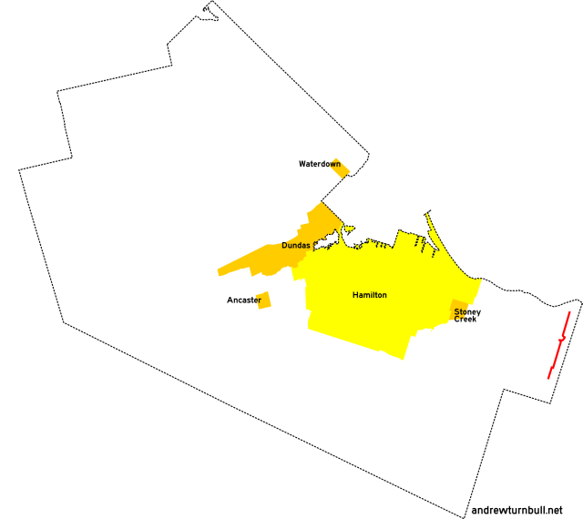
RR 445 | |||||
|

|
Grays Rd. | Hamilton city limits north of Stoney Creek Village (continues from RR 145) | King St. near Stoney Creek Village | 2 |
|
Previously: RR 45. Street name also given as Gray Rd; no consistency. |
|||||
RR 450 | |||||

|
|
Fifty Rd. 11th Rd. E. |
QEW interchange near Winona | Mud St. east of Tweedside | 7 |
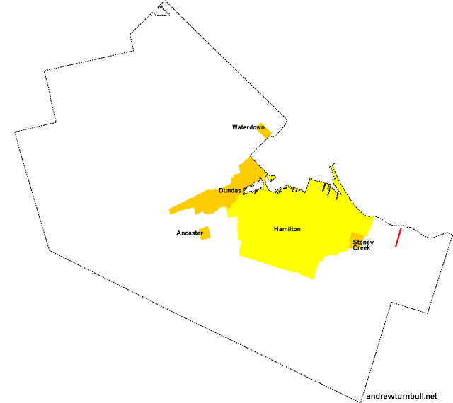
RR 452 | |||||
|

|
Glover Rd. | QEW underpass (no access) | ON 8 west of Winona | 2 |
|
Added in 1979; probably unnumbered before. The road's terminus at the QEW seems odd, given the lack of a connection. |
|||||
RR 455 | |||||

|
|
Fruitland Rd. | QEW interchange near Fruitland | ON 8 near Fruitland | 3 |
|
Previously: RR 55. |
|||||
RR 458 | |||||

|
|
Millen Rd. | QEW underpass (no access) | ON 8 east of Stoney Creek Village | 2 |
|
Added in 1979; probably unnumbered before. Another regional road whose number terminates at the QEW without a connection. |
|||||
![[Home]](home.gif) The Network
The Network![[Back]](back.gif) Hamilton
Hamilton![[Forward]](forward.gif) 500 series
500 series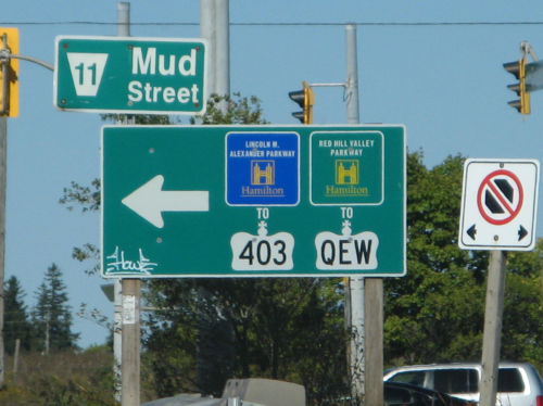