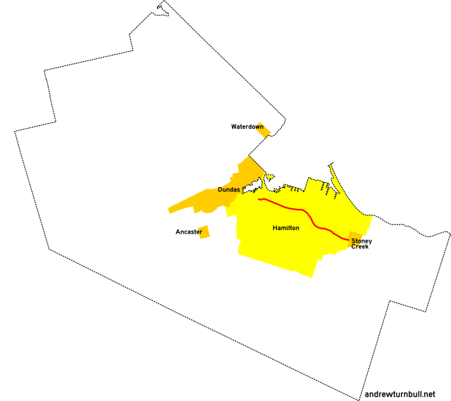
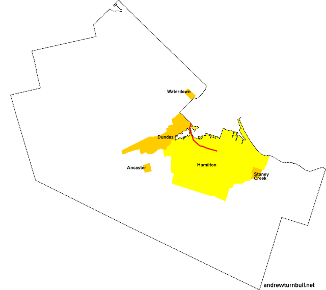
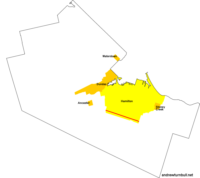
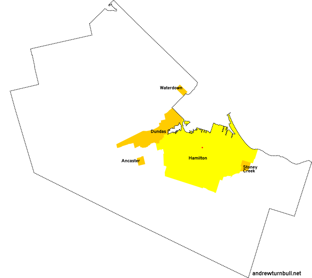
![[Hamilton, ON highway map]](transpo/rr100.png)
In 1979, the regional government of Hamilton-Wentworth devised a semi-secret network of numbered roads within the City of Hamilton itself.
Roads were numbered in a way that made more sense for maintenance tabulation than for navigation: Some regional "highways" were concurrent with provincial highways (being internal designations for municipally-maintained connecting links), and individual couplets of one-way pairs were given separate numbers.
As such, it's doubtful that any of these 100-series road numbers were actually signed in the field. On official highway maps, these roads were generally shaded but unlabelled.
| 104 | 106 | 108* | |||||||
| 110* | 112* | 114 | 115* | 116 | 117 | ||||
| 120 | 123 | 124* | 126* | 127 | 128 | ||||
| 133* | 138 | ||||||||
| 141* | 145* | 147 | 149 | ||||||
| 153 | 156 | 157 | 158 | ||||||
| 161 | 162 | 163 | 164 | 165 | 166 | 167 | 169 | ||
| 170 | 171 | 172 | 173 | 174 | 175 | 176 | 177 | 178 | 179 |
| 180 | 181 | 182 | 184 | 185 | 186 | 189 | |||
| 192 | 194 | 195 | 196 | 197 | 198 | 199 | |||
= Based on pre-1979 regional road number
= Based on Ontario provincial highway number
= Random or sequential numbers
* = Continues across municipal boundary with a change of leading digit
| Highway | Map (click to enlarge) | Names | Start | Terminus | Length (km) |
|---|---|---|---|---|---|
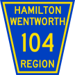
RR 104 | |||||
|

|
Confederation Dr. Nash Rd. Van Wagners Beach Rd. |
Beach Blvd., Hamilton | Centennial Pkwy. (ON 20), Hamilton | 2 |
|
Previously: ON 8A (1925-32), ON 20 (1932-64); diversion around Confederation Park excepted. |
|||||
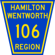
RR 106 | |||||
|

|
Claremont Access Upper James St. |
Jackson St., Hamilton | Hamilton city limits, Glanbrook | 8 |
|
Previously: ON 5 (1925-27; south of Arkledun Ave.) Concurrent with: ON 6. "106" was an internal designation used to refer to a portion of the highway covered by municipal maintenance, and would never have been signed in the field. Due to a one-way split, the northern extremity of RR 106 encompassed southbound traffic only while northbound traffic was carried by RR 178. |
|||||
RR 108 | |||||

|

|
Osler Dr. Main St. Queenston Rd. |
Dundas east town limits (continues from RR 308) | Hamilton city limits, Stoney Creek (continues as RR 408) | 15 |
|
Concurrent with: ON 8. "108" was an internal designation used to refer to a portion of the highway covered by municipal maintenance, and would never have been signed in the field. Much of Main Street follows Concession Line 3. Due to a one-way split, the northern extremity of RR 108 encompassed eastbound traffic only while westbound traffic was carried by RR 112. Succeeded by: RR 8 (east of Cootes Dr.) |
|||||
RR 110 | |||||

|

|
Scenic Dr. | Hamilton city limits, Ancaster (continues from RR 210) | Garth St., Hamilton | 3 |
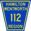
RR 112 | |||||
|
|
King St. | Paradise Rd., Hamilton | Centennial Pkwy. (ON 20), Hamilton (continues as RR 412) | 13 |
|
Concurrent with: ON 8 (west of Kensington Ave). "112" was an internal designation used to refer to a portion of the highway covered by municipal maintenance, and would never have been signed in the field. Previously: RR 12 (east of Kenilworth Ave.) Succeeded by: RR 8 (west of Kensington Ave.) |
|||||
RR 114 | |||||
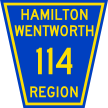
|

|
Beach Blvd. | Burlington Canal, Hamilton Beach | Woodward Ave., Hamilton | 4 |
RR 115 | |||||

|

|
Mohawk Rd. | Hamilton city limits, Ancaster (continues from RR 215) | Mountain Brow Blvd., Hamilton | 9 |
|
Previously: RR 15. Much of this road follows Concession Line 6. |
|||||
RR 116 | |||||
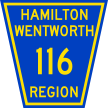
|

|
Stone Church Rd. | Upper Horning Rd., Hamilton | Hamilton city limits south of Mt. Albion | 9 |
|
Previously: RR 51 (1950s). Follows Concession Line 8. |
|||||
RR 117 | |||||
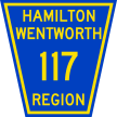
|

|
Fennell Ave. | Garth St., Hamilton | Mountain Brow Blvd., Hamilton | 7 |
|
Previously: CR 30 (west segment) Follows Concession Line 5. |
|||||
RR 120 | |||||

|

|
Denlow Ave. | Garth St., Hamilton | Scenic Dr., Hamilton | insignificant |
|
A short connector between other roads. |
|||||
RR 123 | |||||
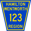
|

|
Concession St. Mountain Brow Blvd. Mud St. |
Vola Ct., Hamilton | Hamilton city limits, Stoney Creek (continues as RR 411) | 10 |
|
Previously: ON 20 (1930-32), ON 20A (1932-37), and ON 55 (1937-49) for east segment; CR 10E for west segment. This road followed Concession Line 4; hence the name. Adjustments: A portion of Mud Street was bisected by the Red Hill Valley Parkway in the 2000s, leaving a discontinuity. (Of course, by that point the three-digit numbering system had long gone defunct.) |
|||||
RR 124 | |||||
|

|
Barton St. | Queen St., Hamilton | Hamilton city limits, Stoney Creek (continues as RR 424) | 12 |
| Follows Concession Line 2. | |||||
RR 126 | |||||

|

|
Miles Rd. | Rymal Rd. (ON 53), Hamilton | Hamilton south city limits, Glanbrook (continues as RR 626) | insignificant |
RR 127 | |||||

|
|
York Blvd. Wilson St. |
Halton Region line north of Hamilton | Sherman Ave., Hamilton | 7 |
|
Previously: ON 2 (York west of Dundurn Street), ON 6 (York west of Bay Street). |
|||||
RR 128 | |||||
|

|
Cannon St. | Queen St., Hamilton | Sherman Ave., Hamilton | 4 |
RR 133 | |||||
|

|
Nebo Rd. | Rymal Rd. (ON 53), Hamilton | Hamilton city limits, Glanbrook (continues as RR 633) | insignificant |
|
Previously: RR 33. |
|||||
RR 138 | |||||
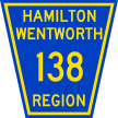
|

|
Burlington St. | Wellington St., Hamilton | QEW interchange, Hamilton | 9 |
|
Previously: ON 20A (1938-51), ON 55 (1957-61); portion east of Kenilworth or Beach Road only. Largely follows Concession Line 2. Due to a one-way split, the central portion of RR 138 encompassed eastbound traffic only while westbound traffic was carried by RR 149. The elevated east portion of the highway is now named Nicola Tesla Boulevard. |
|||||
RR 141 | |||||

|

|
Cootes Dr. | Dundas town limits (continues from RR 341) | Main St. (ON 8), Hamilton | insignificant |
|
Previously: ON 102 (1947-1964), RR 41 (1973). Succeeded by: RR 8, which is still in commission today. |
|||||
RR 145 | |||||
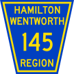
|

|
Grays Rd. | QEW underpass, Hamilton | Hamilton city limits, Stoney Creek (continues as RR 445) | insignificant |
|
Previously: RR 45. Street name also given as Gray Rd; no consistency. |
|||||
RR 147 | |||||

|

|
Main St. | Osler Dr. (ON 8), Hamilton | Hamilton city limits, Ancaster | insignificant |
|
Concurrent with: ON 2. "147" was an internal designation used to refer to a portion of the highway covered by municipal maintenance, and would never have been signed in the field. |
|||||
RR 149 | |||||

|

|
Industrial Dr. | Burlington St., Hamilton | Burlington St., Hamilton | 2 |
RR 153 | |||||

|
|
Rymal Rd. | Hamilton city limits, Ancaster | Hamilton city limits, Stoney Creek | 9 |
|
Concurrent with: ON 53. "153" was an internal designation used to refer to a portion of the highway covered by municipal maintenance, and would never have been signed in the field. Rymal Road also follows the baseline separating historical Barton Township from Glanford. |
|||||
RR 156 | |||||

|

|
Upper Paradise Rd. | Scenic Dr., Hamilton | Rymal Rd. (ON 53), Hamilton | 4 |
|
Previously: RR 31 (1950s). |
|||||
RR 157 | |||||

|

|
Queen St. Beckett Dr. Garth St. |
Barton St., Hamilton | Stone Church Rd., Hamilton | 7 |
|
Previously: CR 30 (middle segment) |
|||||
RR 158 | |||||

|

|
James St. James Mountain Rd. 5th St. W. |
St. Joseph's Dr., Hamilton | Rymal Rd. (ON 53), Hamilton | 6 |
RR 161 | |||||

|

|
Dartnall Rd. | Stone Church Rd., Hamilton | Rymal Rd. (ON 53), Hamilton | insignificant |
RR 162 | |||||

|

|
Upper Ottawa St. | Mountain Brow Blvd., Hamilton | Rymal Rd. (ON 53), Hamilton | 5 |
RR 163 | |||||
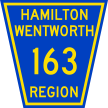
|

|
Upper Gage Ave. | Concession St., Hamilton | Rymal Rd. (ON 53), Hamilton | 5 |
|
Previously: ON 20 (1930-32), ON 20A (1932-37), ON 55 (1937-61) |
|||||
RR 164 | |||||

|

|
Upper Sherman Ave. | Concession St., Hamilton | Rymal Rd. (ON 53), Hamilton | 5 |
RR 165 | |||||
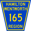
|

|
Sherman Cut Crockett St. |
Sherman Access | Upper Sherman Ave. | insignificant |
|
Previously: ON 55 (1949-58) |
|||||
RR 166 | |||||
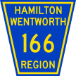
|

|
Woodward Ave. | Beach Blvd., Hamilton | Barton St., Hamilton | 4 |
RR 167 | |||||
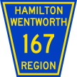
|

|
Upper Wentworth St. | Concession St., Hamilton | Rymal Rd., Hamilton | 5 |
|
Previously: RR 48 (1950s) |
|||||
RR 169 | |||||
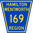
|

|
Arkledun Ave. Jolley Cut Upper Wellington |
St. Joseph's Dr., Hamilton | Rymal Rd., Hamilton | 7 |
|
Previously: The Jolley Cut was used by a multitude of highways at some point or another, including ON 5 (west of Claremont Access, 1925-27), ON 6 (west of Claremont Access, 1927-70s), ON 20 (1930-32), ON 20A (1932-37), and ON 55 (east of Claremont Access, 1937-49). |
|||||
RR 170 | |||||

|

|
Parkdale Ave. | Burlington St., Hamilton | King St., Hamilton | 3 |
|
Previously: CR 17 |
|||||
RR 171 | |||||

|

|
Kenilworth Ave. Kenilworth Access |
Burlington St., Hamilton | Mountain Brow Blvd., Hamilton | 5 |
|
Previously: ON 20A (north of Main St., 1947-51), ON 55 (1957-61) |
|||||
RR 172 | |||||

|

|
Ottawa St. | Industrial Dr., Hamilton | King St., Hamilton | 3 |
|
Previously: ON 20A (1938?-46, portion from Beach Rd. to Main St.) |
|||||
RR 173 | |||||

|

|
Gage Ave. | Industrial Dr., Hamilton | Lawrence Rd., Hamilton | 3 |
RR 174 | |||||

|

|
Sherman Ave. | Burlington St., Hamilton | Main St., Hamilton | 2 |
RR 175 | |||||
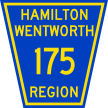
|

|
Birch Ave. | Burlington St., Hamilton | Wilson St., Hamilton | 2 |
RR 176 | |||||
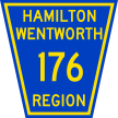
|

|
Sanford Ave. | Delaware Ave., Hamilton | Barton St., Hamilton | insignificant |
RR 177 | |||||

|

|
Wentworth St. | Burlington St., Hamilton | Charlton Ave., Hamilton | 3 |
RR 178 | |||||

|

|
Victoria Ave. | Burlington St., Hamilton | Hunter St., Hamilton | 2 |
RR 179 | |||||
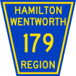
|

|
Wellington St. | Burlington St., Hamilton | Jackson St., Hamilton | 2 |
|
Concurrent with: ON 6 (south of King St). Previously: ON 6 (between Jackson and Wellington, 1948-57) |
|||||
RR 180 | |||||

|

|
John St. | St. Joseph's Dr., Hamilton | Barton St., Hamilton | 2 |
|
Previously: ON 5 (south of Main, 1925-27), ON 6 (south of Main, 1927-48; south of Young, 1948-57; south of King, 1957-70s) |
|||||
RR 181 | |||||
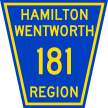
|

|
James St. | St. Joseph's Dr., Hamilton | Barton St., Hamilton | 2 |
|
Previously: ON 6 (south of King, 1957-70s) |
|||||
RR 182 | |||||

|

|
Bay St. | Barton St., Hamilton | Herkimer St., Hamilton | 2 |
RR 184 | |||||

|

|
St. Joseph's Dr. | James St., Hamilton | John St., Hamilton | insignificant |
|
Previously: ON 6 (1957-70s) |
|||||
RR 185 | |||||

|

|
Paradise Rd. | Main St., Hamilton | King St., Hamilton | insignificant |
|
Concurrent with: ON 2 and ON 8. "185" was an internal designation used to refer to a portion of the highways covered by municipal maintenance, and would never have been signed in the field. Succeeded by: RR 8, which is still in commission today. |
|||||
RR 186 | |||||
|

|
Longwood Rd. | Main St., Hamilton | Aberdeen Ave., Hamilton | insignificant |
RR 189 | |||||

|

|
5th Ramp W. | Claremont Access, Hamilton | 5th St. W., Hamilton | insignificant |
RR 192 | |||||

|

|
Sherman Access | Charlton Ave., Hamilton | Kenilworth Access, Hamilton | 4 |
RR 194 | |||||

|

|
Aberdeen Ave. | Longwood Rd., Hamilton | Queen St., Hamilton | 2 |
RR 195 | |||||
|

|
Herkimer St. | Queen St. | James St. | insignificant |
RR 196 | |||||

|

|
Dundurn St. | Aberdeen Ave. | York Blvd. | 2 |
RR 197 | |||||

|

|
Charlton Ave. | Queen St., Hamilton | Wentworth St., Hamilton | 2 |
RR 198 | |||||

|

|
Lawrence Rd. | Gage Ave., Hamilton | King St., Hamilton | 4 |
RR 199 | |||||

|
|
Delaware Ave. | Wentworth St., Hamilton | Sanford Ave., Hamilton | insignificant |
![[Home]](home.gif) The Network
The Network![[Back]](back.gif) Hamilton
Hamilton![[Forward]](forward.gif) 200 series
200 series